Chicago’s Rosemont Corridor
By John R. Schmidt


1
/ 3
1
/ 3
Chicago’s Rosemont Corridor
By John R. Schmidt
WBEZ brings you fact-based news and information.
Sign up for our newsletters
to stay up to date on the stories that matter.
You can find a little bit of Chicago in the strangest places.
In 1945 the federal government transferred 1,080 acres of land near Mannheim and Higgins to the City of Chicago. The site was to be used for a new commercial airfield, the future O’Hare.
Though Chicago held title to the airport land, the site itself was a few miles beyond the city limits. That fact might cause legal complications—could the Chicago police even issue parking tickets? Early in 1956, the city council opened hearings on annexing unincorporated land between the city and the airport.
Part of the plan was to annex forest preserve acreage along the Des Plaines River. The Cook County Board was controlled by Chicago Democrats, so that would be easily done.
At the same time, the city was going to annex a 66-foot-wide strip of Higgins Road. This narrow corridor would stretch from the existing Chicago border (Canfield Avenue) to the airport land (Mannheim Road). Chicago would then have a physical link with O’Hare.
Meanwhile, out on the prairie, the homesteaders in Park Ridge and Des Plaines were alarmed. Those city slickers were invading their territory. What would happen to their peaceful country lives?
Now both Park Ridge and Des Plaines began their own annexations, trying to block Chicago’s land grab. The newly-incorporated village of Rosemont followed suit. To help things along, Leyden Township officials volunteered to co-ordinate the new suburban borders.
Mayor Richard J. Daley of Chicago wasn’t about to let a few little hamlets interfere with the greater good of his city. Daley met behind closed doors with officials from the rebellious suburbs on March 28th. When the meeting ended, the mayor announced that the matter was settled, and the Chicago annexation would go forward.
By virtue of that strip along Higgins—which was only 33-feet wide in some places—O’Hare was now connected to the City of Chicago. But the solution was only temporary. In 1959, in a different case, the Illinois Supreme Court questioned the legality of such “shoestring” annexations.
Daley didn’t wait for the court to take up the Higgins annexation. He reached a deal with Rosemont to swop the Higgins strip for a 185-foot wide strip along Foster Avenue, on Rosemont’s southern border. Now the matter really was settled.
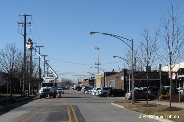
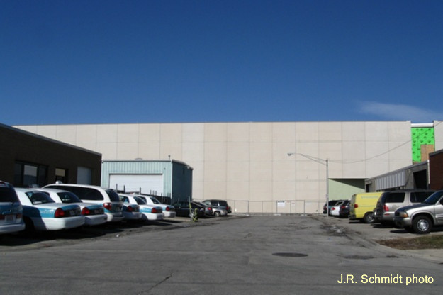
Today there’s nothing to identify the little corridor along Foster as part of Chicago, except for a few city street lights. The old suburban street signs are still in place. And in a final bit of irony, the Rosemont land to the north has undergone massive redevelopment, while the Chicago land is occupied by single-story industrial buildings.